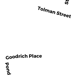
40 TOLMAN ST
Owner Information
WATERMAN, JENNIFER L F
40 TOLMAN ST
SHARON, MA 02067


Property Details
40 TOLMAN ST is classified as a Single Family Residential (Ranch).
The primary structure on this property was built in 1941. There are 2,484ft2 of built area within this property. There is 1,242ft2 of residential/living space within this property. This property is listed as having 6 rooms.
40 TOLMAN ST is valued at $431,000. The land is valued at $290,200 and the structures are valued at $135,100. There is an additional valuation of $5,700 on this property.
The most recent deed for 40 TOLMAN ST is recorded at the local registrar in Book LC160080, Page 0. 40 TOLMAN ST was last sold on Tuesday, July 10, 2001 for $245,000.
Assessment data from fiscal year 2022.
Flood Data
According to the FEMA National Flood Hazard Layer, this property does not appear to be in a flood zone. It may also be in an area not yet reviewed. Nonetheless, confirm this information prior to taking any action.
To view the flood hazards around this property, create a FEMA "Firmette" Map of the area around 40 TOLMAN ST.
Broadband Internet Providers
| Provider | Type | Bandwidth (mbps) | |
|---|---|---|---|
| GCI Communication Corp. | Satellite | 0 | 0 |
| VSAT Systems, LLC. | Satellite | 2 | 1 |
| Viasat Inc | Satellite | 100 | 3 |
| Verizon New England Inc. | DSL | 15 | 1 |
| Comcast | Cable | 1000 | 35 |
| T-Mobile | Fixed Wireless | 25 | 3 |
| HughesNet | Satellite | 25 | 3 |
Broadband service provider data from December 2020.
Adjacent Properties
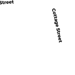
- 15 COTTAGE ST
Single Family Residential owned by BANKS, ELIZABETH & JENNIFER TRS - 13 COTTAGE ST
Single Family Residential owned by YANG, ZHONGFA - 11 COTTAGE ST
Single Family Residential owned by JENERAL, JAMES J - 34 TOLMAN ST
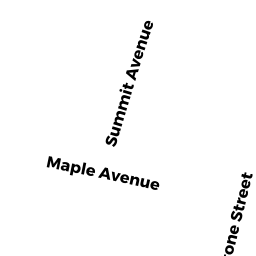
Single Family Residential owned by MACUGA, JOHN - 16 STONE ST
Single Family Residential owned by DOZOIS, PAUL